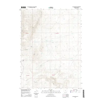
2015 Map of Jelm Mountain
USGS Topo · Published 2015About this map
Jelm Mtn and Ring Mtn anchor the high-altitude landscape of this Albany County survey, where the physical geography is defined by a network of seasonal drainages and springs. The map documents an area shaped by both natural features and human extraction, notably marked by Gyp Quarry Rd winding through the southern foothills. Water management is a central theme, evidenced by the presence of Old King Ditch and the distinct reservoirs of Ring Lake Number 1 and Ring Lake Number 2.
Find a feature on this map
28 named features on this map. Tap any name to fly to it.
Don’t see what you’re looking for? This feature index may not catch every label — zoom into the map to look around manually.
Map Details
Editions of this 2015 Jelm Mountain Map
This is the sole edition of this map. No revisions or reprints were ever made.
Other maps of this area

1895 · Laramie
USGS Topo · 1:125,000

1902 · Laramie
USGS Topo · 1:125,000

1905 · Laramie
USGS Topo · 1:125,000

1906 · Medicine Bow
USGS Topo · 1:125,000

1906 · Laramie
USGS Topo · 1:125,000

1908 · Laramie
USGS Topo · 1:125,000

1908 · Medicine Bow
USGS Topo · 1:125,000

1916 · Home
USGS Topo · 1:125,000

1920 · Home
USGS Topo · 1:125,000

1954 · Cheyenne
USGS Topo · 1:250,000