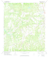
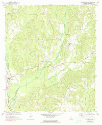
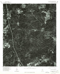
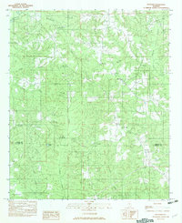
1971 Map of Jemison West
USGS Topo · Published 1974This historical map portrays the area of Jemison West in 1971, primarily covering Chilton County. Featuring a scale of 1:24000, this map provides a highly detailed snapshot of the terrain, roads, buildings, counties, and historical landmarks in the Jemison West region at the time. Published in 1974, it is one of 2 known editions of this map due to revisions or reprints.
Find a feature on this map
46 named features on this map. Tap any name to fly to it.
Don’t see what you’re looking for? This feature index may not catch every label — zoom into the map to look around manually.
Map Details
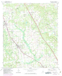
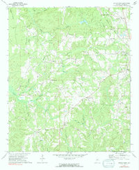
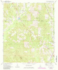
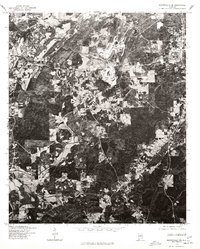
Editions of this 1971 Jemison West Map
2 editions found
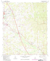
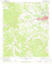
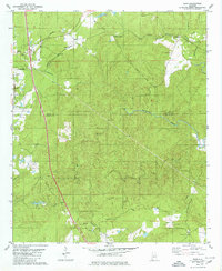
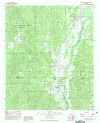
Historical Maps of Campbell Through Time
15 maps found
1971 Jemison East
Chilton County, AL
1971 Jemison West
Chilton County, AL
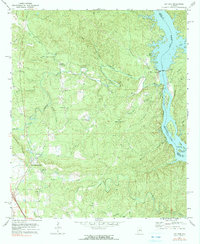
1971 Lay Dam
Chilton County, AL
1971 Maplesville East
Chilton County, AL
1971 Maplesville West
Chilton County, AL

1971 Mitchell Dam
Chilton County, AL
1972 Clanton East
Chilton County, AL
1972 Clanton West
Chilton County, AL
1975 Columbiana SW
Chilton County, AL
1975 Montevallo SE
Chilton County, AL
1979 Ozan
Chilton County, AL
1982 Plantersville
Chilton County, AL
1982 Pletcher
Chilton County, AL
2002 Maplesville West
Chilton County, AL
2002 Plantersville
Chilton County, AL