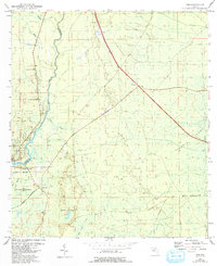
1954 Map of Jena
USGS Topo · Published 1993About this map
The Steinhatchee River defines the western edge of this coastal Florida landscape, marking the boundary between Taylor and Dixie Counties. The settlement of Jena serves as a primary focal point, supported by local institutions like the Jena Sch and Steinhatchee Cem. The terrain is characterized by a high concentration of wetlands, including the expansive Pumpkin Swamp, Pine Log Swamp, and Rocky Creek Swamp, illustrating the low-lying, hydrologically complex nature of the Gulf coast hinterlands during the mid-20th century.
Find a feature on this map
19 named features on this map. Tap any name to fly to it.
Don’t see what you’re looking for? This feature index may not catch every label — zoom into the map to look around manually.
Map Details
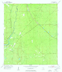
Editions of this 1954 Jena Map
3 editions found
Other maps of this area

1954 · Steinhatchee SW
USGS Topo · 1:24,000

1954 · Cross City West
USGS Topo · 1:24,000

1954 · Clara
USGS Topo · 1:24,000

1954 · Salem SW
USGS Topo · 1:24,000

1954 · Mallory Swamp SW
USGS Topo · 1:24,000

1954 · Jena
USGS Topo · 1:24,000

1954 · Steinhatchee
USGS Topo · 1:24,000

1954 · Steinhatchee SE
USGS Topo · 1:24,000

1954 · Cross City SW
USGS Topo · 1:24,000

1954 · Gainesville
USGS Topo · 1:250,000