
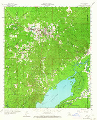
1958 Map of Jena
USGS Topo · Published 1959About this map
The town of Jena sits at the heart of this LaSalle Parish survey, serving as a hub for timber and rail activity in late 1950s Louisiana. The Louisiana and Arkansas Railway cuts through the northern half of the quadrangle, linking the community with Searcy, Trout, and Good Pine. This industrial footprint is further emphasized by several gravel pits and the prominent Catahoula Lake Oil Field stretching across the southern marshlands.
Find a feature on this map
111 named features on this map. Tap any name to fly to it.
Don’t see what you’re looking for? This feature index may not catch every label — zoom into the map to look around manually.
Map Details
Editions of this 1958 Jena Map
2 editions found
Other maps of this area

1935 · Tooleys
USGS Topo · 1:62,500

1936 · Pollock
USGS Topo · 1:62,500

1941 · Manifest
USGS Topo · 1:62,500

1941 · Jena
USGS Topo · 1:62,500

1941 · Alexandria
USGS Topo · 1:62,500

1941 · Buckeye
USGS Topo · 1:62,500

1941 · Pollock
USGS Topo · 1:62,500

1941 · Tooleys
USGS Topo · 1:62,500

1941 · Harrisonburg
USGS Topo · 1:62,500

1953 · Alexandria
USGS Topo · 1:250,000