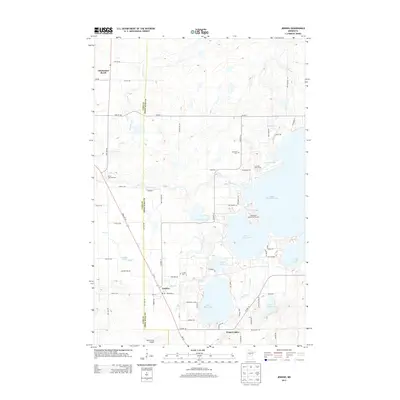
2013 Map of Jenkins
USGS Topo · Published 2013About this map
Jenkins sits at the intersection of State 371 SW and Co Hwy-15, serving as a central point for the recreation-heavy landscape of this region. The terrain is defined by an intricate network of water bodies, most notably the interconnected Upper Whitefish Lake, Lower Hay Lake, and Upper Hay Lake, which together form a massive aquatic system used for local navigation and sport. This 2013 survey illustrates the developed nature of the lakeshore, featuring established landmarks like the Driftwood Resort Golf Course and Irish Hills Golf Course.
Find a feature on this map
75 named features on this map. Tap any name to fly to it.
Don’t see what you’re looking for? This feature index may not catch every label — zoom into the map to look around manually.
Map Details
Editions of this 2013 Jenkins Map
This is the sole edition of this map. No revisions or reprints were ever made.
Other maps of this area

1953 · Brainerd
USGS Topo · 1:250,000

1957 · Brainerd
USGS Topo · 1:250,000

1958 · Brainerd
USGS Topo · 1:250,000

1959 · Pelican Lake
USGS Topo · 1:24,000

1959 · Nisswa
USGS Topo · 1:24,000

1959 · Lower Whitefish Lake
USGS Topo · 1:24,000

1959 · Pine River
USGS Topo · 1:24,000

1959 · Jenkins
USGS Topo · 1:24,000

1959 · Pine River SW
USGS Topo · 1:24,000

1965 · Brainerd
USGS Topo · 1:250,000