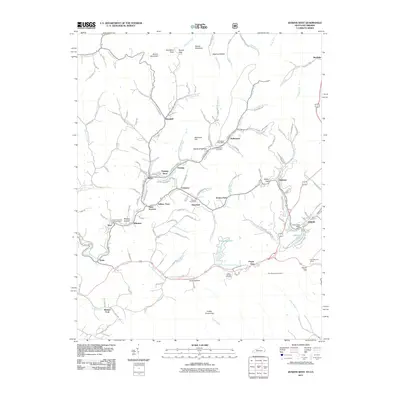
2011 Map of Jenkins West
USGS Topo · Published 2011About this map
The North Fork Kentucky River and the headwaters of Elkhorn Creek define the complex drainage patterns of this Appalachian landscape. In the early 21st century, the area shows a dense network of coal-related settlements and infrastructure, including the South East Coal Company Post Office near Seco and Whitaker. Local history is anchored by numerous small communities like Fleming-Neon, McRoberts, and Cromona, each connected by a winding system of mountain roads and the prominent C and O Railroad Rd.
Find a feature on this map
74 named features on this map. Tap any name to fly to it.
Don’t see what you’re looking for? This feature index may not catch every label — zoom into the map to look around manually.
Map Details
Editions of this 2011 Jenkins West Map
This is the sole edition of this map. No revisions or reprints were ever made.
Other maps of this area

1890 · Whitesburg
USGS Topo · 1:125,000

1892 · Whitesburg
USGS Topo · 1:125,000

1912 · Pound
USGS Topo · 1:48,000

1912 · Hindman
USGS Topo · 1:48,000

1913 · Oven Fork
USGS Topo · 1:48,000

1914 · Pound
USGS Topo · 1:62,500

1914 · Vergie
USGS Topo · 1:48,000

1915 · Hindman
USGS Topo · 1:62,500

1915 · Whitesburg
USGS Topo · 1:62,500

1916 · Pikeville
USGS Topo · 1:62,500