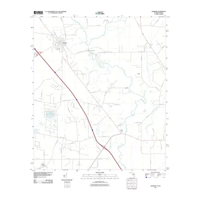
2011 Map of Jennings
USGS Topo · Published 2011About this map
The Alapahoochee River and Alapaha River dominate this borderland geography where Hamilton County meets the Georgia state line. The town of Jennings serves as the primary hub, situated near the confluence of local waterways and major transport corridors. Further east, the small settlement of Avoca is positioned near the winding path of Alligator Creek, while West Lake anchors the southwestern corner of the quadrangle.
Find a feature on this map
57 named features on this map. Tap any name to fly to it.
Don’t see what you’re looking for? This feature index may not catch every label — zoom into the map to look around manually.
Map Details
Editions of this 2011 Jennings Map
This is the sole edition of this map. No revisions or reprints were ever made.
Other maps of this area

1954 · Valdosta
USGS Topo · 1:250,000

1955 · Jasper
USGS Topo · 1:24,000

1956 · Jennings
USGS Topo · 1:24,000

1956 · Octahatchee
USGS Topo · 1:24,000

1958 · Valdosta
USGS Topo · 1:250,000

1958 · Fort Union
USGS Topo · 1:24,000

1959 · Valdosta
USGS Topo · 1:250,000

1959 · Ellaville
USGS Topo · 1:24,000

1961 · Hillcoat
USGS Topo · 1:24,000

1971 · Lake Park
USGS Topo · 1:24,000