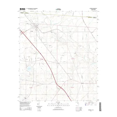
2015 Map of Jennings
USGS Topo · Published 2015About this map
The Jennings settlement sits at the intersection of a complex riverine landscape where the Alapahoochee River meets the Alapaha River. This 2015 survey details the borderlands of Hamilton County, Florida, and Echols County, Georgia, a region defined by its numerous waterways including Turket Cr, Alligator Cr, and the Little Alapaha River. The map provides specific locations for local heritage sites like Sasser Landing Cem and Bluff Cem in the Avoca area, alongside modern land use patterns indicated by the Corbett Estate Pond. The drainage network, featuring Tiger Cr and the small settlement of West Lake, reveals a low-lying terrain shaped by these persistent southern watercourses and the interstate corridors that now traverse them.
Find a feature on this map
89 named features on this map. Tap any name to fly to it.
Don’t see what you’re looking for? This feature index may not catch every label — zoom into the map to look around manually.
Map Details
Editions of this 2015 Jennings Map
This is the sole edition of this map. No revisions or reprints were ever made.
Other maps of this area

1954 · Valdosta
USGS Topo · 1:250,000

1955 · Jasper
USGS Topo · 1:24,000

1956 · Jennings
USGS Topo · 1:24,000

1956 · Octahatchee
USGS Topo · 1:24,000

1958 · Valdosta
USGS Topo · 1:250,000

1958 · Fort Union
USGS Topo · 1:24,000

1959 · Valdosta
USGS Topo · 1:250,000

1959 · Ellaville
USGS Topo · 1:24,000

1961 · Hillcoat
USGS Topo · 1:24,000

1971 · Lake Park
USGS Topo · 1:24,000