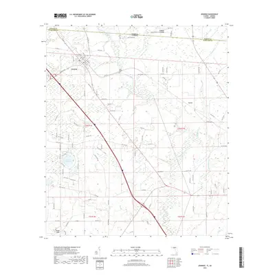
2018 Map of Jennings
USGS Topo · Published 2018About this map
The town of Jennings sits at the northern edge of Hamilton County, positioned just below the Georgia-Florida state line. This 2018 survey reveals a landscape defined by the winding course of the Alapahoochee River and the Alapaha River, where water dictates the settlement patterns and road networks of this borderland region. The town center is organized around a grid of named streets including Hamilton Ave, Cherry St, and Georgia St, while the surrounding rural acreage is dotted with smaller water bodies like Corbett Estate Pond and West Lake.
Find a feature on this map
92 named features on this map. Tap any name to fly to it.
Don’t see what you’re looking for? This feature index may not catch every label — zoom into the map to look around manually.
Map Details
Editions of this 2018 Jennings Map
This is the sole edition of this map. No revisions or reprints were ever made.
Other maps of this area

1954 · Valdosta
USGS Topo · 1:250,000

1955 · Jasper
USGS Topo · 1:24,000

1956 · Jennings
USGS Topo · 1:24,000

1956 · Octahatchee
USGS Topo · 1:24,000

1958 · Valdosta
USGS Topo · 1:250,000

1958 · Fort Union
USGS Topo · 1:24,000

1959 · Valdosta
USGS Topo · 1:250,000

1959 · Ellaville
USGS Topo · 1:24,000

1961 · Hillcoat
USGS Topo · 1:24,000

1971 · Lake Park
USGS Topo · 1:24,000