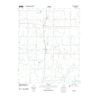
2010 Map of Jennings
USGS Topo · Published 2010About this map
The town of Jennings and the nearby village of Hallett anchor this Pawnee County landscape, reflecting a rural Oklahoma crossroads defined by its creeks and transportation links. The terrain is deeply inscribed with a grid of rural roads, including n3610 RD and e0550 RD, which navigate a drainage system of waterways like Lagoon Creek, House Creek, and Carpenter Creek. A notable land use feature is the Cimarron Strip, while infrastructure is marked by the Hallett Interchange and the specialized Hallett Siding. For local historians and genealogists, the placement of the Jennings Cemetery and Bethany Cemetery provides essential markers for family research. Water management is evident through the presence of several reservoirs, including the Oknoname 117005 Reservoir and its associated dam, alongside the Mannford Water Supply Lake on the southeastern edge of the sheet.
Find a feature on this map
41 named features on this map. Tap any name to fly to it.
Don’t see what you’re looking for? This feature index may not catch every label — zoom into the map to look around manually.
Map Details
Editions of this 2010 Jennings Map
This is the sole edition of this map. No revisions or reprints were ever made.
Other maps of this area

1912 · Hominy
USGS Topo · 1:125,000

1915 · Hominy
USGS Topo · 1:125,000

1915 · Hominy
USGS Topo · 1:62,500

1929 · Yale
USGS Topo · 1:62,500

1929 · Skedee
USGS Topo · 1:62,500

1931 · Skedee
USGS Topo · 1:62,500

1932 · Yale
USGS Topo · 1:62,500

1955 · Enid
USGS Topo · 1:250,000

1958 · Enid
USGS Topo · 1:250,000

1966 · Cleveland
USGS Topo · 1:24,000