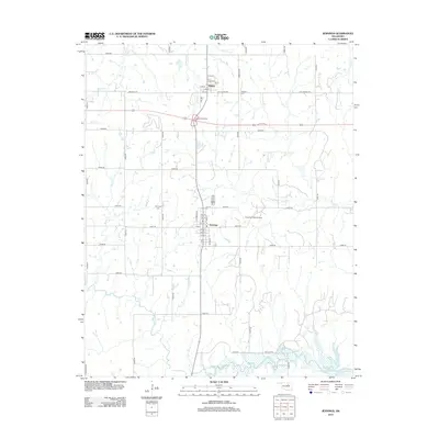
2012 Map of Jennings
USGS Topo · Published 2012About this map
Jennings and Hallett are the central hubs of this Pawnee County landscape, where the local road network follows the grid of the original land surveys. The town of Jennings is situated near the Cimarron Strip Airport, while Hallett lies further north near the Hallett Interchange. This era of the region's development is characterized by a balance of small-town residential blocks, such as those along Frisco ST and Sycamore ST, and the surrounding rural infrastructure.
Find a feature on this map
49 named features on this map. Tap any name to fly to it.
Don’t see what you’re looking for? This feature index may not catch every label — zoom into the map to look around manually.
Map Details
Editions of this 2012 Jennings Map
This is the sole edition of this map. No revisions or reprints were ever made.
Other maps of this area

1912 · Hominy
USGS Topo · 1:125,000

1915 · Hominy
USGS Topo · 1:125,000

1915 · Hominy
USGS Topo · 1:62,500

1929 · Yale
USGS Topo · 1:62,500

1929 · Skedee
USGS Topo · 1:62,500

1931 · Skedee
USGS Topo · 1:62,500

1932 · Yale
USGS Topo · 1:62,500

1955 · Enid
USGS Topo · 1:250,000

1958 · Enid
USGS Topo · 1:250,000

1966 · Cleveland
USGS Topo · 1:24,000