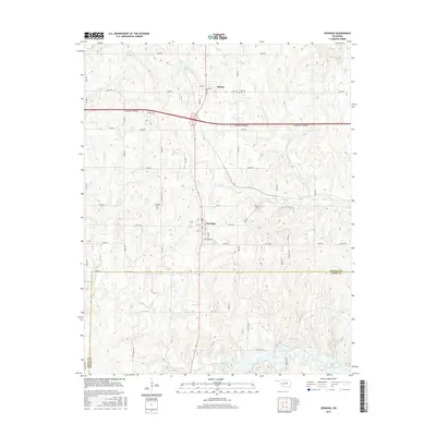
2016 Map of Jennings
USGS Topo · Published 2016About this map
Jennings and Hallett are the primary focal points of this 2016 survey, situated along the 99 highway corridor at the junction of Pawnee, Creek, and Payne counties. The landscape is defined by the winding paths of several watercourses, including Lagoon Creek in the south and House Cr cutting through the center. This topography highlights the rural infrastructure of the early 21st century, where section line roads such as e0530 RD and n3600 RD form a rigid grid over the undulating terrain.
Find a feature on this map
54 named features on this map. Tap any name to fly to it.
Don’t see what you’re looking for? This feature index may not catch every label — zoom into the map to look around manually.
Map Details
Editions of this 2016 Jennings Map
This is the sole edition of this map. No revisions or reprints were ever made.
Other maps of this area

1912 · Hominy
USGS Topo · 1:125,000

1915 · Hominy
USGS Topo · 1:125,000

1915 · Hominy
USGS Topo · 1:62,500

1929 · Yale
USGS Topo · 1:62,500

1929 · Skedee
USGS Topo · 1:62,500

1931 · Skedee
USGS Topo · 1:62,500

1932 · Yale
USGS Topo · 1:62,500

1955 · Enid
USGS Topo · 1:250,000

1958 · Enid
USGS Topo · 1:250,000

1966 · Cleveland
USGS Topo · 1:24,000