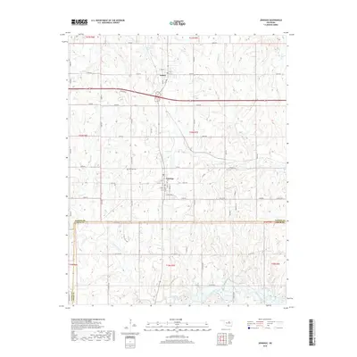
2018 Map of Jennings
USGS Topo · Published 2018About this map
Jennings and Hallett occupy a transition point between the northern Oklahoma prairies and the complex drainage networks of the Cimarron River basin. This survey illustrates a landscape defined by its section-line road grid and numerous waterways, including the winding Lagoon Creek and House Cr. The settlement of Jennings is centered at the junction of E Armstrong St and Main St, serving as a focal point for the surrounding rural territory that straddles the borders of Pawnee, Creek, and Payne counties.
Find a feature on this map
65 named features on this map. Tap any name to fly to it.
Don’t see what you’re looking for? This feature index may not catch every label — zoom into the map to look around manually.
Map Details
Editions of this 2018 Jennings Map
This is the sole edition of this map. No revisions or reprints were ever made.
Other maps of this area

1912 · Hominy
USGS Topo · 1:125,000

1915 · Hominy
USGS Topo · 1:125,000

1915 · Hominy
USGS Topo · 1:62,500

1929 · Yale
USGS Topo · 1:62,500

1929 · Skedee
USGS Topo · 1:62,500

1931 · Skedee
USGS Topo · 1:62,500

1932 · Yale
USGS Topo · 1:62,500

1955 · Enid
USGS Topo · 1:250,000

1958 · Enid
USGS Topo · 1:250,000

1966 · Cleveland
USGS Topo · 1:24,000