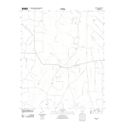
2011 Map of Jersey
USGS Topo · Published 2011About this map
Jersey serves as the central hub for this rural stretch of southern Arkansas, where the landscape is defined by the winding course of Moro Creek and its many tributaries. The area is heavily intersected by a network of county and local routes, including County Rd-33 and Bradley Road 1 N, reflecting a community connected by land and water. The map preserves the locations of several historic burial grounds, such as Mount Zion Cemetery, Lavilliam Cemetery, and Hines Cemetery, which are essential for genealogical research in this region. The presence of Mill Ford and Bailey Ford indicates established crossing points over the creek system, vital for local movement before modern bridging. Named terrain features like Pin Oak Flat and the confluence of branches like Villum Branch and Jordan Branch highlight the intricate drainage patterns that have shaped the local agricultural and timber economy.
Find a feature on this map
68 named features on this map. Tap any name to fly to it.
Don’t see what you’re looking for? This feature index may not catch every label — zoom into the map to look around manually.
Map Details
Editions of this 2011 Jersey Map
This is the sole edition of this map. No revisions or reprints were ever made.
Other maps of this area

1934 · Ingalls
USGS Topo · 1:48,000

1934 · Moro Bay
USGS Topo · 1:62,500

1937 · Ingalls
USGS Topo · 1:62,500

1938 · Moro Bay
USGS Topo · 1:62,500

1939 · Moro Bay
USGS Topo · 1:62,500

1939 · Ingalls
USGS Topo · 1:62,500

1953 · El Dorado
USGS Topo · 1:250,000

1957 · El Dorado
USGS Topo · 1:250,000

1958 · El Dorado
USGS Topo · 1:250,000

1960 · El Dorado
USGS Topo · 1:250,000