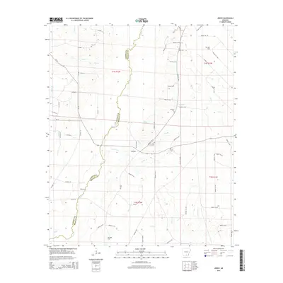
2014 Map of Jersey
USGS Topo · Published 2014About this map
Jersey serves as the central hub of this South Arkansas landscape, situated where Ar-160 meets the county line. The geography is defined by the winding course of Moro Cr, which forms the natural boundary between Calhoun and Bradley counties. This riparian corridor is marked by historic crossing points like Mill Ford and Balley Ford, suggesting a legacy of local travel and commerce before modern infrastructure dominated the region.
Find a feature on this map
78 named features on this map. Tap any name to fly to it.
Don’t see what you’re looking for? This feature index may not catch every label — zoom into the map to look around manually.
Map Details
Editions of this 2014 Jersey Map
This is the sole edition of this map. No revisions or reprints were ever made.
Other maps of this area

1934 · Ingalls
USGS Topo · 1:48,000

1934 · Moro Bay
USGS Topo · 1:62,500

1937 · Ingalls
USGS Topo · 1:62,500

1938 · Moro Bay
USGS Topo · 1:62,500

1939 · Moro Bay
USGS Topo · 1:62,500

1939 · Ingalls
USGS Topo · 1:62,500

1953 · El Dorado
USGS Topo · 1:250,000

1957 · El Dorado
USGS Topo · 1:250,000

1958 · El Dorado
USGS Topo · 1:250,000

1960 · El Dorado
USGS Topo · 1:250,000