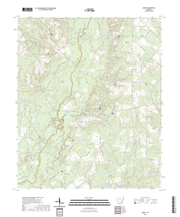
2024 Map of Jersey
USGS Topo · Published 2024About this map
The community of Jersey is situated within a dense network of creek bottoms and timbered ridges along the border of Calhoun and Bradley counties. The landscape is defined by the winding course of Moro Creek and its many tributaries, including Dunn Creek, Beech Creek, and Charivari Creek. This area of south Arkansas maintains a strong connection to its rural heritage, as evidenced by the high density of small family and community burial grounds found across the terrain. Genealogists can identify significant sites such as the Shady Grove African American Cem and Shady Grove Cem, along with Mount Zion Cem and the Belin Cem to the north. These sites, coupled with names like Mud Springs and Pin Oak Flat, illustrate a land defined by its water sources and bottomland topography, where the road network remains largely rural and decentralized.
Find a feature on this map
74 named features on this map. Tap any name to fly to it.
Don’t see what you’re looking for? This feature index may not catch every label — zoom into the map to look around manually.
Map Details
Editions of this 2024 Jersey Map
This is the sole edition of this map. No revisions or reprints were ever made.
Other maps of this area

1934 · Ingalls
USGS Topo · 1:48,000

1934 · Moro Bay
USGS Topo · 1:62,500

1937 · Ingalls
USGS Topo · 1:62,500

1938 · Moro Bay
USGS Topo · 1:62,500

1939 · Moro Bay
USGS Topo · 1:62,500

1939 · Ingalls
USGS Topo · 1:62,500

1953 · El Dorado
USGS Topo · 1:250,000

1957 · El Dorado
USGS Topo · 1:250,000

1958 · El Dorado
USGS Topo · 1:250,000

1960 · El Dorado
USGS Topo · 1:250,000