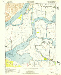
1952 Map of Jersey Island
USGS Topo · Published 1954About this map
Jersey Island and the surrounding Sacramento-San Joaquin River Delta appear as an intricate network of reclaimed tracts and sloughs in the early 1950s. The landscape is defined by the massive levee systems protecting the Webb Tract, Bradford Island, and Twitchell Island. At the southern edge, Bethel Island shows early development with localized roads like Piper Road and Sunset Drive, while the small settlement of Emmaton sits along the Sacramento River. Transport patterns of the era are visible in the path of the Atchison Topeka and Santa Fe railroad crossing the southern marshlands near Big Break. This hydrographic study, influenced by the work of State Engineer A. D. Edmonston, detail the region's complex water management, from the Mayberry Slough Facility Military Reservation to the numerous gas wells dotting the northern islands.
Find a feature on this map
46 named features on this map. Tap any name to fly to it.
Don’t see what you’re looking for? This feature index may not catch every label — zoom into the map to look around manually.
Map Details
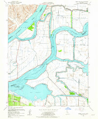
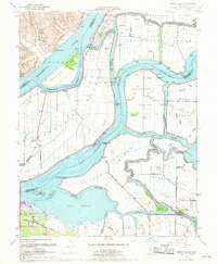
Editions of this 1952 Jersey Island Map
3 editions found
Other maps of this area

1896 · Mt. Diablo
USGS Topo · 1:62,500

1898 · Mt. Diablo
USGS Topo · 1:62,500

1907 · Antioch
USGS Topo · 1:62,500

1908 · Antioch
USGS Topo · 1:62,500

1910 · Rio Vista
USGS Topo · 1:31,680

1910 · Bouldin
USGS Topo · 1:31,680

1910 · Jersey
USGS Topo · 1:31,680

1910 · Isleton
USGS Topo · 1:31,680

1913 · Woodward Island
USGS Topo · 1:31,680

1914 · Brentwood
USGS Topo · 1:31,680