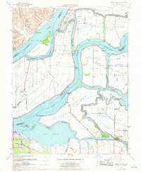
1952 Map of Jersey Island
USGS Topo · Published 1969About this map
Jersey Island and the surrounding reclaimed delta lands are defined by an intricate network of levees and sloughs where the Sacramento River and San Joaquin River converge. This 1952 topographic survey reveals the complex hydraulic landscape of the Sacramento-San Joaquin Delta, including the Montezuma Hills and the low-lying Brannan Island. The map records the early development of Bethel Island as a hub of delta life, accessed by Bethel Island Road and Sunset Drive. Settlement patterns are largely restricted to higher ground or protected tracts like the Webb Tract and Franks Tract. Marine navigation is central to the era, marked by features such as Santa Clara Shoal, Chinamans Cut, and Fishermans Cut. In the southern portion, the Atchison Topeka and Santa Fe railroad skirts the edge of Big Break and the mouth of Marsh Creek.
Find a feature on this map
50 named features on this map. Tap any name to fly to it.
Don’t see what you’re looking for? This feature index may not catch every label — zoom into the map to look around manually.
Map Details
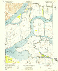
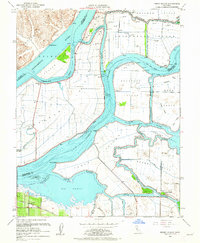
Editions of this 1952 Jersey Island Map
3 editions found
Other maps of this area

1896 · Mt. Diablo
USGS Topo · 1:62,500

1898 · Mt. Diablo
USGS Topo · 1:62,500

1907 · Antioch
USGS Topo · 1:62,500

1908 · Antioch
USGS Topo · 1:62,500

1910 · Rio Vista
USGS Topo · 1:31,680

1910 · Bouldin
USGS Topo · 1:31,680

1910 · Jersey
USGS Topo · 1:31,680

1910 · Isleton
USGS Topo · 1:31,680

1913 · Woodward Island
USGS Topo · 1:31,680

1914 · Brentwood
USGS Topo · 1:31,680