
1910 Map of Jersey
USGS Topo · Published 1910About this map
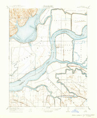
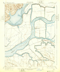
The confluence of the Sacramento River and the San Joaquin River dominates this early twentieth-century survey of the California Delta. At this time, the region's economy relied heavily on river transport, evidenced by numerous landings such as Larsen Landing, Bradford Landing, and Oulton Landing. These sites served as vital connection points for the agricultural islands and tracts carved out of the wetlands, including Brannan Island, Jersey Island, and the Webb Tract.
Find a feature on this map
34 named features on this map. Tap any name to fly to it.
Don’t see what you’re looking for? This feature index may not catch every label — zoom into the map to look around manually.
Map Details
Editions of this 1910 Jersey Map
3 editions found
Other maps of this area

1896 · Mt. Diablo
USGS Topo · 1:62,500

1898 · Mt. Diablo
USGS Topo · 1:62,500

1907 · Antioch
USGS Topo · 1:62,500

1908 · Antioch
USGS Topo · 1:62,500

1910 · Rio Vista
USGS Topo · 1:31,680

1910 · Bouldin
USGS Topo · 1:31,680

1910 · Isleton
USGS Topo · 1:31,680

1913 · Woodward Island
USGS Topo · 1:31,680

1914 · Brentwood
USGS Topo · 1:31,680

1916 · Lone Tree Valley
USGS Topo · 1:31,680