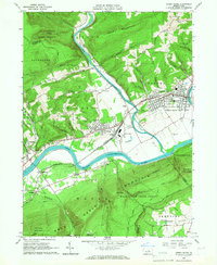
1965 Map of Jersey Shore
USGS Topo · Published 1967About this map
Pine Creek winds its way through a gap in Short Mountain to meet the West Branch Susquehanna River, anchoring a mid-century landscape of river-town industry and mountain forestry. The borough of Jersey Shore serves as the primary hub, surrounded by smaller communities like Avis, McElhattan, and Woolrich. The presence of the New York Central railroad and the significant Avis Yard facilities highlights the region's importance as a transportation corridor during this era.
Find a feature on this map
70 named features on this map. Tap any name to fly to it.
Don’t see what you’re looking for? This feature index may not catch every label — zoom into the map to look around manually.
Map Details
Editions of this 1965 Jersey Shore Map
4 editions found
Other maps of this area

1921 · Williamsport
USGS Topo · 1:48,000

1921 · Trout Run
USGS Topo · 1:62,500

1921 · Lock Haven
USGS Topo · 1:62,500

1923 · Lock Haven
USGS Topo · 1:62,500

1923 · Trout Run
USGS Topo · 1:62,500

1923 · Williamsport
USGS Topo · 1:62,500

1935 · Waterville
USGS Topo · 1:24,000

1937 · Waterville
USGS Topo · 1:48,000

1943 · Waterville
USGS Topo · 1:62,500

1944 · Trout Run
USGS Topo · 1:62,500