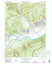
1965 Map of Jersey Shore
USGS Topo · Published 1986About this map
West Branch Susquehanna River defines the central corridor of this region, where the industrial legacy of the late mid-century is captured through the extensive Avis Yard and dual rail lines of the Penn Central and Conrail. The landscape transitions from the forested slopes of Short Mountain and Bald Eagle Mountain to the active riverfront settlements of Jersey Shore and Avis. Cultural landmarks such as Garman Ch and Phelps Chapel are noted alongside the Jersey Shore Cemetery, providing a detailed look at the community structure of the time.
Find a feature on this map
68 named features on this map. Tap any name to fly to it.
Don’t see what you’re looking for? This feature index may not catch every label — zoom into the map to look around manually.
Map Details
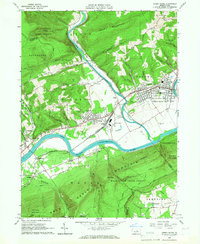
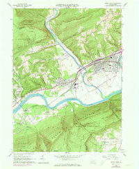
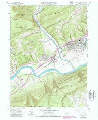
Editions of this 1965 Jersey Shore Map
4 editions found
Other maps of this area

1921 · Williamsport
USGS Topo · 1:48,000

1921 · Trout Run
USGS Topo · 1:62,500

1921 · Lock Haven
USGS Topo · 1:62,500

1923 · Lock Haven
USGS Topo · 1:62,500

1923 · Trout Run
USGS Topo · 1:62,500

1923 · Williamsport
USGS Topo · 1:62,500

1935 · Waterville
USGS Topo · 1:24,000

1937 · Waterville
USGS Topo · 1:48,000

1943 · Waterville
USGS Topo · 1:62,500

1944 · Trout Run
USGS Topo · 1:62,500