
1962 Map of Jess Valley
USGS Topo · Published 1964About this map
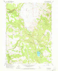
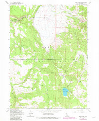
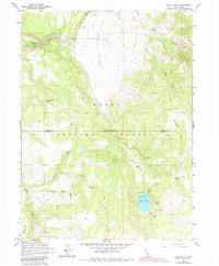
Jess Valley forms a prominent agricultural and hydraulic basin within the high country of the Modoc National Forest. This 1962 survey, mapped by the U.S. Forest Service, highlights the intersection of public timberlands and private ranching interests, notably at the Blue Lake Ranch. The drainage of the South Fork Pit River and Mill Creek defines the northern reaches, while the southern topography is dominated by the steep ascent toward Mahogany Ridge and the recreation areas surrounding Blue Lake. The map details a network of early forest infrastructure, including a Guard Station and several remote water sources like Parsnip Springs and West Valley Spring. The transition from the flatlands of McKabe Flat to the deep incisions of Deep Canyon reflects the complex watershed management of the era, marked by designated Picnic Grounds and the Little Meadows Campground.
Find a feature on this map
25 named features on this map. Tap any name to fly to it.
Don’t see what you’re looking for? This feature index may not catch every label — zoom into the map to look around manually.
Map Details
Editions of this 1962 Jess Valley Map
4 editions found
Other maps of this area

1886 · Alturas
USGS Topo · 1:250,000

1892 · Alturas
USGS Topo · 1:250,000

1954 · Alturas
USGS Topo · 1:250,000

1958 · Alturas
USGS Topo · 1:250,000

1962 · Alturas
USGS Topo · 1:250,000

1962 · Tule Mountain
USGS Topo · 1:24,000
1962 · Madeline
USGS Topo · 1:24,000
1962 · Cold Spring Mtn
USGS Topo · 1:24,000
1962 · Emerson Peak
USGS Topo · 1:24,000
1962 · Boot Lake
USGS Topo · 1:24,000