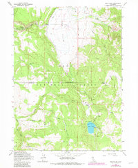
1962 Map of Jess Valley
USGS Topo · Published 1983About this map
Jess Valley dominates this high-altitude landscape in the northeast corner of California, where agriculture and federal land management meet. The valley floor is defined by an intricate network of irrigation features, including a prominent ditch system that supports the Blue Lake Ranch. These water diversions flow from the South Fork Pit River and Mill Creek, illustrating how mid-century ranching operations adapted to this remote mountain basin.
Find a feature on this map
27 named features on this map. Tap any name to fly to it.
Don’t see what you’re looking for? This feature index may not catch every label — zoom into the map to look around manually.
Map Details
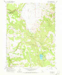
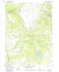
Editions of this 1962 Jess Valley Map
4 editions found
Other maps of this area

1886 · Alturas
USGS Topo · 1:250,000

1892 · Alturas
USGS Topo · 1:250,000

1954 · Alturas
USGS Topo · 1:250,000

1958 · Alturas
USGS Topo · 1:250,000

1962 · Alturas
USGS Topo · 1:250,000

1962 · Tule Mountain
USGS Topo · 1:24,000
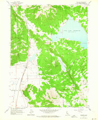
1962 · Madeline
USGS Topo · 1:24,000
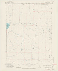
1962 · Cold Spring Mtn
USGS Topo · 1:24,000

1962 · Jess Valley
USGS Topo · 1:24,000
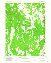
1962 · Emerson Peak
USGS Topo · 1:24,000