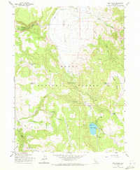
1962 Map of Jess Valley
USGS Topo · Published 1972About this map
Jess Valley forms a wide, high-altitude basin within the Modoc National Forest, serving as a critical drainage for numerous mountain streams in the early 1960s. The hydrology of the area is defined by the South Fork Pit River and its tributaries, including Mill Creek and Coyote Creek, which flow through the north. The landscape is a mix of open meadows and forested ridges, such as Mahogany Ridge, where seasonal water sources like Parsnip Springs emerge.
Find a feature on this map
28 named features on this map. Tap any name to fly to it.
Don’t see what you’re looking for? This feature index may not catch every label — zoom into the map to look around manually.
Map Details
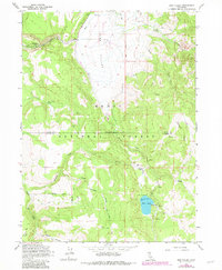
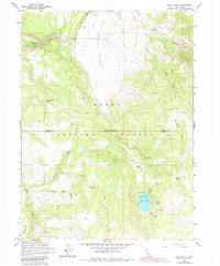
Editions of this 1962 Jess Valley Map
4 editions found
Other maps of this area

1886 · Alturas
USGS Topo · 1:250,000

1892 · Alturas
USGS Topo · 1:250,000

1954 · Alturas
USGS Topo · 1:250,000

1958 · Alturas
USGS Topo · 1:250,000

1962 · Alturas
USGS Topo · 1:250,000

1962 · Tule Mountain
USGS Topo · 1:24,000
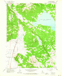
1962 · Madeline
USGS Topo · 1:24,000
1962 · Cold Spring Mtn
USGS Topo · 1:24,000

1962 · Jess Valley
USGS Topo · 1:24,000
1962 · Emerson Peak
USGS Topo · 1:24,000