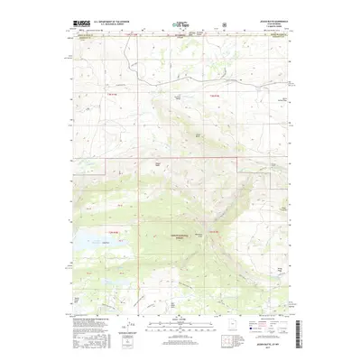
2017 Map of Jessen Butte
USGS Topo · Published 2017About this map
Ashley National Forest dominates this high-altitude landscape along the border of Utah and Wyoming. The map documents a rugged terrain shaped by complex hydrology, featuring the Lodgepole Canal and S Valley Canal which divert water through the high basins. Cultural landmarks like Dowds Grave and the Neff Ranch provide specific points of historical interest within the wilderness.
Find a feature on this map
56 named features on this map. Tap any name to fly to it.
Don’t see what you’re looking for? This feature index may not catch every label — zoom into the map to look around manually.
Map Details
Editions of this 2017 Jessen Butte Map
This is the sole edition of this map. No revisions or reprints were ever made.
Other maps of this area

1885 · Ashley
USGS Topo · 1:250,000

1906 · Marsh Peak
USGS Topo · 1:125,000

1908 · Marsh Peak
USGS Topo · 1:125,000

1954 · Vernal
USGS Topo · 1:250,000

1954 · Rock Springs
USGS Topo · 1:250,000

1958 · Vernal
USGS Topo · 1:250,000

1958 · Rock Springs
USGS Topo · 1:250,000

1960 · Vernal
USGS Topo · 1:250,000

1962 · Rock Springs
USGS Topo · 1:250,000
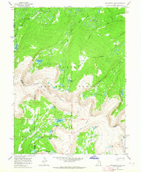
1963 · Whiterocks Lake
USGS Topo · 1:24,000