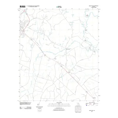
2011 Map of Jesup East
USGS Topo · Published 2011About this map
Altamaha River backwaters and the flatwoods of Wayne County define this landscape as it appeared in 2011. The river corridor is marked by a complex network of secondary channels and wetlands, including Old River and the significant landmass of Kentucky Island. Small settlements like Odessa, Gardi, and Pendarvis are linked by the diagonal corridor of Martin Luther King Dr, illustrating the persistent settlement pattern in this part of Georgia. A series of landings such as Mac Fishery Landing, Plank Landing, and Oak Landing point to the river's continued importance for local access and commerce. The map also documents modern infrastructure, including the John Henry Lane Junior Memorial Bridge spanning Penholoway Creek, and various tributary systems like Little McMillen Creek and Gardi Creek that drain the surrounding timberlands and rural homesteads.
Find a feature on this map
57 named features on this map. Tap any name to fly to it.
Don’t see what you’re looking for? This feature index may not catch every label — zoom into the map to look around manually.
Map Details
Editions of this 2011 Jesup East Map
This is the sole edition of this map. No revisions or reprints were ever made.
Other maps of this area

1918 · Jesup
USGS Topo · 1:62,500

1918 · Hortense
USGS Topo · 1:62,500

1918 · Everett City
USGS Topo · 1:62,500

1920 · Everett City
USGS Topo · 1:62,500

1943 · Ludowici
USGS Topo · 1:62,500

1943 · Jesup
USGS Topo · 1:62,500

1944 · Everett City
USGS Topo · 1:62,500

1944 · Hortense
USGS Topo · 1:62,500

1946 · Brunswick
USGS Topo · 1:250,000

1948 · Brunswick
USGS Topo · 1:250,000