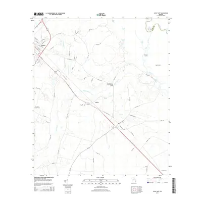
2014 Map of Jesup East
USGS Topo · Published 2014About this map
Jesup and the surrounding rural communities of Wayne County are the focus of this 2014 survey, highlighting the corridor along the Old Brunswick Highway. The landscape is defined by the wetlands and meandering tributaries of the Altamaha River, which forms the boundary with Long County. Key features include the Jesup-Wayne County Airport and the John Henry Lane Junior Memorial Bridge, which spans Penholoway Creek.
Find a feature on this map
71 named features on this map. Tap any name to fly to it.
Don’t see what you’re looking for? This feature index may not catch every label — zoom into the map to look around manually.
Map Details
Editions of this 2014 Jesup East Map
This is the sole edition of this map. No revisions or reprints were ever made.
Other maps of this area

1918 · Jesup
USGS Topo · 1:62,500

1918 · Hortense
USGS Topo · 1:62,500

1918 · Everett City
USGS Topo · 1:62,500

1920 · Everett City
USGS Topo · 1:62,500

1943 · Ludowici
USGS Topo · 1:62,500

1943 · Jesup
USGS Topo · 1:62,500

1944 · Everett City
USGS Topo · 1:62,500

1944 · Hortense
USGS Topo · 1:62,500

1946 · Brunswick
USGS Topo · 1:250,000

1948 · Brunswick
USGS Topo · 1:250,000