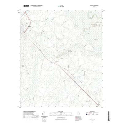
2020 Map of Jesup East
USGS Topo · Published 2020About this map
The eastern edges of Jesup transition into the dense wetlands of the Altamaha River basin in this survey of southeast Georgia. The landscape is defined by the expansive Penholloway Swamp and a complex network of waterways, including Penholloway Creek, Little McMillen Creek, and Gardi Creek. Elevated ground is scarce, marked by named landmasses like Kentucky Island and Boyles Island that rise above the surrounding marshes.
Find a feature on this map
83 named features on this map. Tap any name to fly to it.
Don’t see what you’re looking for? This feature index may not catch every label — zoom into the map to look around manually.
Map Details
Editions of this 2020 Jesup East Map
This is the sole edition of this map. No revisions or reprints were ever made.
Other maps of this area

1918 · Jesup
USGS Topo · 1:62,500

1918 · Hortense
USGS Topo · 1:62,500

1918 · Everett City
USGS Topo · 1:62,500

1920 · Everett City
USGS Topo · 1:62,500

1943 · Ludowici
USGS Topo · 1:62,500

1943 · Jesup
USGS Topo · 1:62,500

1944 · Everett City
USGS Topo · 1:62,500

1944 · Hortense
USGS Topo · 1:62,500

1946 · Brunswick
USGS Topo · 1:250,000

1948 · Brunswick
USGS Topo · 1:250,000