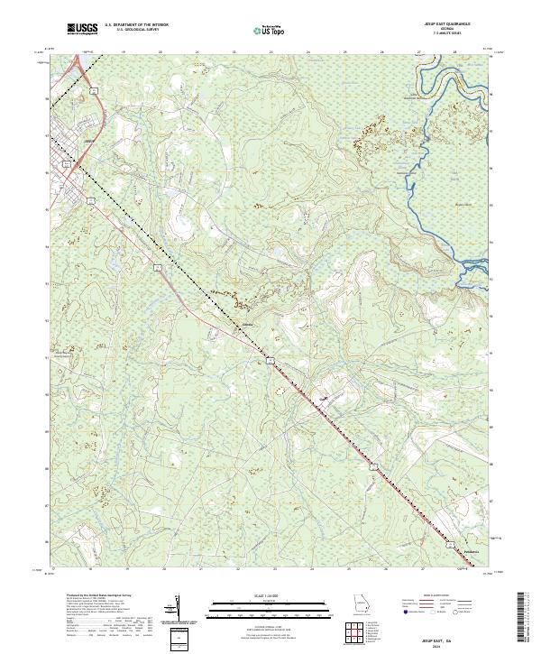
2024 Map of Jesup East
USGS Topo · Published 2024About this map
Jesup and the surrounding piney lowlands of Wayne County define this landscape, where the Altamaha River basin creates a complex network of wetlands and oxbow lakes. The eastern boundary is dominated by the Altamaha River and its meandering side channels like Old River, which separate Kentucky Island and Boyles Island from the mainland. This geography dictates the local infrastructure, with settlements like Odessa and Gardi following the higher ground along the principal highway corridor.
Find a feature on this map
80 named features on this map. Tap any name to fly to it.
Don’t see what you’re looking for? This feature index may not catch every label — zoom into the map to look around manually.
Map Details
Editions of this 2024 Jesup East Map
This is the sole edition of this map. No revisions or reprints were ever made.
Other maps of this area

1918 · Jesup
USGS Topo · 1:62,500

1918 · Hortense
USGS Topo · 1:62,500

1918 · Everett City
USGS Topo · 1:62,500

1920 · Everett City
USGS Topo · 1:62,500

1943 · Ludowici
USGS Topo · 1:62,500

1943 · Jesup
USGS Topo · 1:62,500

1944 · Everett City
USGS Topo · 1:62,500

1944 · Hortense
USGS Topo · 1:62,500

1946 · Brunswick
USGS Topo · 1:250,000

1948 · Brunswick
USGS Topo · 1:250,000