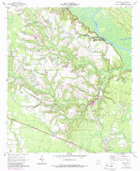
1970 Map of Jesup NW
USGS Topo · Published 1988About this map
Altamaha River winds along the county line in this corner of Southeast Georgia, carving a wide floodplain that features Hughes Old River and Carter Island. The interior landscape is defined by a dense network of creek branches, including Little Goose Creek, Holstein Branch, and Sweetwater Branch, which drain the low-lying terrain. Settlements like Madray Springs and Burnett anchor the rural infrastructure, while numerous community centers are marked by country churches such as Altamaha Ch, Blanton Grove Ch, and Red Hill Ch.
Find a feature on this map
30 named features on this map. Tap any name to fly to it.
Don’t see what you’re looking for? This feature index may not catch every label — zoom into the map to look around manually.
Map Details
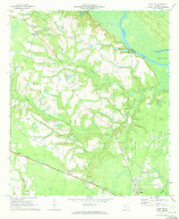
Editions of this 1970 Jesup NW Map
2 editions found
Other maps of this area

1918 · Jesup
USGS Topo · 1:62,500

1920 · Glennville
USGS Topo · 1:62,500

1943 · Jesup
USGS Topo · 1:62,500

1944 · Glennville
USGS Topo · 1:62,500

1946 · Brunswick
USGS Topo · 1:250,000

1948 · Brunswick
USGS Topo · 1:250,000

1950 · Glennville
USGS Topo · 1:62,500

1953 · Waycross
USGS Topo · 1:250,000

1956 · Brunswick
USGS Topo · 1:250,000

1958 · Waycross
USGS Topo · 1:250,000