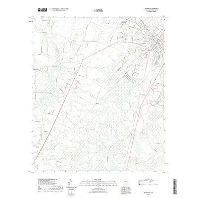
2020 Map of Jesup West
USGS Topo · Published 2020About this map
Jesup serves as the regional hub in this modern survey, anchoring the landscape with the Wayne County Courthouse and the nearby Jesup-Wayne County Airport. The settlement pattern transitions from the organized street grid of the city to the rural residential clusters and agrarian corridors of Slover. Significant educational infrastructure is present at Coastal Pines Technical College, situated near the bayous and wetlands that define the local geography.
Find a feature on this map
132 named features on this map. Tap any name to fly to it.
Don’t see what you’re looking for? This feature index may not catch every label — zoom into the map to look around manually.
Map Details
Editions of this 2020 Jesup West Map
This is the sole edition of this map. No revisions or reprints were ever made.
Other maps of this area

1918 · Jesup
USGS Topo · 1:62,500

1918 · Hortense
USGS Topo · 1:62,500

1943 · Jesup
USGS Topo · 1:62,500

1944 · Hortense
USGS Topo · 1:62,500

1946 · Brunswick
USGS Topo · 1:250,000

1948 · Brunswick
USGS Topo · 1:250,000

1953 · Waycross
USGS Topo · 1:250,000

1956 · Brunswick
USGS Topo · 1:250,000

1958 · Waycross
USGS Topo · 1:250,000

1961 · Brunswick
USGS Topo · 1:250,000