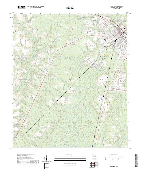
2024 Map of Jesup West
USGS Topo · Published 2024About this map
Jesup serves as the primary urban center for this portion of Wayne County, anchored by the Wayne County Courthouse and the nearby Jesup City Cem. The landscape transitions from the gridded streets of the city to the dense swampy lowlands of the Georgia coastal plain. Notable hydrological features include the Little Satilla Creek and Penholoway Creek, along with distinctive swamp depressions such as Millikin Bay and Mosely Bay. The rural community of Slover sits west of the Jesup-Wayne County Airport, connected by a network of established roads like Holmesville Rd. The presence of Coastal Pines Technical College and several named tributaries like Dobson Mill Branch and Walker Creek illustrates the integration of modern infrastructure with the region’s complex drainage systems. This survey documents the region's contemporary mix of municipal development and protected wetlands.
Find a feature on this map
138 named features on this map. Tap any name to fly to it.
Don’t see what you’re looking for? This feature index may not catch every label — zoom into the map to look around manually.
Map Details
Editions of this 2024 Jesup West Map
This is the sole edition of this map. No revisions or reprints were ever made.
Other maps of this area

1918 · Jesup
USGS Topo · 1:62,500

1918 · Hortense
USGS Topo · 1:62,500

1943 · Jesup
USGS Topo · 1:62,500

1944 · Hortense
USGS Topo · 1:62,500

1946 · Brunswick
USGS Topo · 1:250,000

1948 · Brunswick
USGS Topo · 1:250,000

1953 · Waycross
USGS Topo · 1:250,000

1956 · Brunswick
USGS Topo · 1:250,000

1958 · Waycross
USGS Topo · 1:250,000

1961 · Brunswick
USGS Topo · 1:250,000