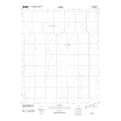
2009 Map of Jet SE
USGS Topo · Published 2009About this map
Coldwater Creek and Wagon-Creek define the drainage of this north-central Oklahoma landscape, where the terrain is marked by a rigid grid of agricultural roads. This 2009 survey shows the area's development of water resources, most notably through the Oknoname 053002 Reservoir and Oknoname 047010 Reservoir. These reservoirs, managed via the Oknoname 053002 Dam and Oknoname 047010 Dam, represent modern land management practices in Garfield County. The map provides a precise look at the section line roads, such as e0270 RD and n2810 RD, which partition the prairie into a highly organized patchwork typical of the Great Plains' settlement patterns. For those tracking property boundaries or rural land use in the early 21st century, the placement of these man-made features among the natural creek beds offers essential geographic context.
Find a feature on this map
22 named features on this map. Tap any name to fly to it.
Don’t see what you’re looking for? This feature index may not catch every label — zoom into the map to look around manually.
Map Details
Editions of this 2009 Jet SE Map
This is the sole edition of this map. No revisions or reprints were ever made.
Other maps of this area

1955 · Enid West
USGS Topo · 1:24,000

1955 · Enid
USGS Topo · 1:250,000

1955 · Woodward
USGS Topo · 1:250,000

1956 · Enid
USGS Topo · 1:62,500

1956 · Ringwood
USGS Topo · 1:62,500

1958 · Enid
USGS Topo · 1:250,000

1958 · Woodward
USGS Topo · 1:250,000

1968 · Hillsdale
USGS Topo · 1:24,000

1968 · Pond Creek NW
USGS Topo · 1:24,000

1969 · Jet
USGS Topo · 1:24,000