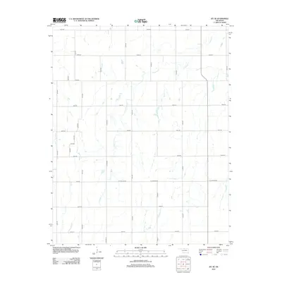
2012 Map of Jet SE
USGS Topo · Published 2012About this map
Coldwater Cr and Wagon Cr define the drainage of this Garfield County landscape, which by 2012 shows a strictly regularized grid of rural roads and agricultural plots. The terrain is marked by the precision of Oklahoma's land survey system, where section lines are traced by thoroughfares like E0300 Rd and N2750 Rd. The dominance of the road network, including family-named routes such as N Stabe Rd and W H Holdden Rd, reflects a modern rural environment where the natural contours of the creeks are the only interruptions to the geometric human imprint. This survey captures a specific moment in the rural development of the Oklahoma plains, illustrating how early water-dependent settlement patterns have been fully integrated into a systematic infrastructure of country roads and section-line crossings.
Find a feature on this map
24 named features on this map. Tap any name to fly to it.
Don’t see what you’re looking for? This feature index may not catch every label — zoom into the map to look around manually.
Map Details
Editions of this 2012 Jet SE Map
This is the sole edition of this map. No revisions or reprints were ever made.
Other maps of this area

1955 · Enid West
USGS Topo · 1:24,000

1955 · Enid
USGS Topo · 1:250,000

1955 · Woodward
USGS Topo · 1:250,000

1956 · Enid
USGS Topo · 1:62,500

1956 · Ringwood
USGS Topo · 1:62,500

1958 · Enid
USGS Topo · 1:250,000

1958 · Woodward
USGS Topo · 1:250,000

1968 · Hillsdale
USGS Topo · 1:24,000

1968 · Pond Creek NW
USGS Topo · 1:24,000

1969 · Jet
USGS Topo · 1:24,000