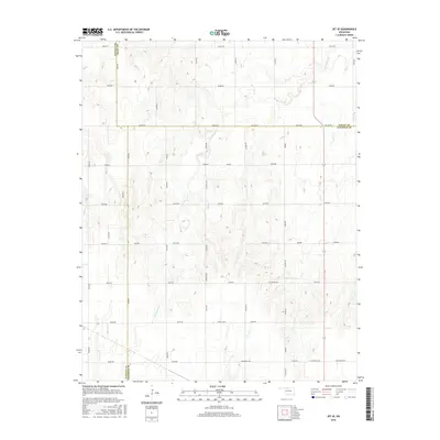
2016 Map of Jet SE
USGS Topo · Published 2016About this map
Coldwater Cr and Wagon Cr define the drainage of this rural Oklahoma landscape where the borders of Alfalfa, Grant, and Garfield counties converge. The terrain is organized by a strict grid of section line roads, including Co Line Rd and Centennial Rd, which facilitate the region's agricultural economy. Several named road segments and small localities like Keowee, Buffalo, and Great Lakes reflect the nomenclature of early settlement and land development in the northern part of the state. The map details the precise alignment of local thoroughfares such as Stare Rd, Sheridan Rd, and Hobart Rd, which connect the scattered farmsteads across these prairies. This 2016 survey provides a modern inventory of the drainage patterns and road infrastructure that have shaped the rural communities of Keowee and surrounding townships for generations.
Find a feature on this map
35 named features on this map. Tap any name to fly to it.
Don’t see what you’re looking for? This feature index may not catch every label — zoom into the map to look around manually.
Map Details
Editions of this 2016 Jet SE Map
This is the sole edition of this map. No revisions or reprints were ever made.
Other maps of this area

1955 · Enid West
USGS Topo · 1:24,000

1955 · Enid
USGS Topo · 1:250,000

1955 · Woodward
USGS Topo · 1:250,000

1956 · Enid
USGS Topo · 1:62,500

1956 · Ringwood
USGS Topo · 1:62,500

1958 · Enid
USGS Topo · 1:250,000

1958 · Woodward
USGS Topo · 1:250,000

1968 · Hillsdale
USGS Topo · 1:24,000

1968 · Pond Creek NW
USGS Topo · 1:24,000

1969 · Jet
USGS Topo · 1:24,000