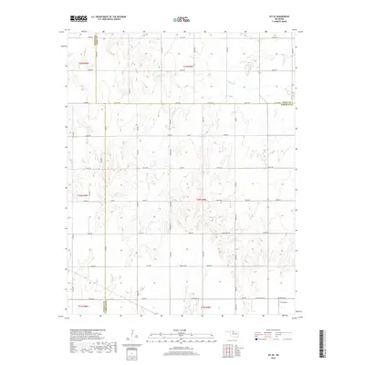
2018 Map of Jet SE
USGS Topo · Published 2018About this map
The agricultural landscape at the tri-county junction of Alfalfa, Grant, and Garfield counties is defined by a rigorous section-line road grid and the meandering path of Coldwater Cr. This 2018 survey illustrates a rural Oklahoma terrain organized for large-scale farming, where names like Keowee, Buffalo, and Blaine identify local road segments rather than concentrated town centers. The map documents modern land use through the presence of the TLC Airport in the southeast corner and several numbered water bodies, including 053002 Reservoir and 047010 Reservoir. These features, alongside family-named or descriptive thoroughfares such as W B Bolden Rd and Stabe Rd, provide a precise record of the regional infrastructure and water management systems serving the northern Oklahoma plains.
Find a feature on this map
42 named features on this map. Tap any name to fly to it.
Don’t see what you’re looking for? This feature index may not catch every label — zoom into the map to look around manually.
Map Details
Editions of this 2018 Jet SE Map
This is the sole edition of this map. No revisions or reprints were ever made.
Other maps of this area

1955 · Enid West
USGS Topo · 1:24,000

1955 · Enid
USGS Topo · 1:250,000

1955 · Woodward
USGS Topo · 1:250,000

1956 · Enid
USGS Topo · 1:62,500

1956 · Ringwood
USGS Topo · 1:62,500

1958 · Enid
USGS Topo · 1:250,000

1958 · Woodward
USGS Topo · 1:250,000

1968 · Hillsdale
USGS Topo · 1:24,000

1968 · Pond Creek NW
USGS Topo · 1:24,000

1969 · Jet
USGS Topo · 1:24,000