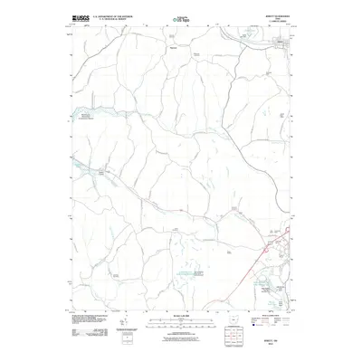
2010 Map of Jewett
USGS Topo · Published 2010About this map
Jewett and the nearby village of Hanover center this Harrison County landscape, defined by a series of prominent ridges and winding creek valleys. The rugged topography is etched with local history, visible in the numerous family and community burial grounds such as Hanover Cemetery, Ridgeview Cemetery, and Lees Run Cemetery. The region's industrial character is clearly marked by a high concentration of coal mining operations, including the Domestic Mine, Kerr Mine, and Cope Mine, which are situated near the eastern edge of the quadrangle.
Find a feature on this map
76 named features on this map. Tap any name to fly to it.
Don’t see what you’re looking for? This feature index may not catch every label — zoom into the map to look around manually.
Map Details
Editions of this 2010 Jewett Map
This is the sole edition of this map. No revisions or reprints were ever made.
Other maps of this area

1901 · Cadiz
USGS Topo · 1:62,500

1902 · Scio
USGS Topo · 1:62,500

1903 · Cadiz
USGS Topo · 1:62,500

1903 · Flushing
USGS Topo · 1:62,500

1904 · Scio
USGS Topo · 1:62,500

1905 · St. Clairsville
USGS Topo · 1:62,500

1905 · Flushing
USGS Topo · 1:62,500

1951 · Canton
USGS Topo · 1:250,000

1953 · Canton
USGS Topo · 1:250,000

1957 · Canton
USGS Topo · 1:250,000