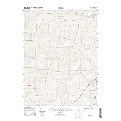
2013 Map of Jewett
USGS Topo · Published 2013About this map
Jewett and the village of Hanover sit within a landscape defined by the winding tributaries of Conotton Cr and the Standingstone Fork. This corner of Harrison County preserves several family and community burial grounds, including Hanover Cem, Ridgeview Cem, and the remote Hines Cem. To the south, industrial and recreational land use is visible at Sally Buffalo Park Lake Number Two and the Consolidation Coal Company Pond 0210, reflecting the area's history of resource management. The map also shows the extensive holdings of the Muskingum Watershed Conservancy District near Tappan Lake, illustrating the regional commitment to flood control and conservation. Transport routes like the Cadiz-Jewett Rd connect these rural settlements, following the ridges and valleys carved by the Clear Fork and Slab Camp Run.
Find a feature on this map
86 named features on this map. Tap any name to fly to it.
Don’t see what you’re looking for? This feature index may not catch every label — zoom into the map to look around manually.
Map Details
Editions of this 2013 Jewett Map
This is the sole edition of this map. No revisions or reprints were ever made.
Other maps of this area

1901 · Cadiz
USGS Topo · 1:62,500

1902 · Scio
USGS Topo · 1:62,500

1903 · Cadiz
USGS Topo · 1:62,500

1903 · Flushing
USGS Topo · 1:62,500

1904 · Scio
USGS Topo · 1:62,500

1905 · St. Clairsville
USGS Topo · 1:62,500

1905 · Flushing
USGS Topo · 1:62,500

1951 · Canton
USGS Topo · 1:250,000

1953 · Canton
USGS Topo · 1:250,000

1957 · Canton
USGS Topo · 1:250,000