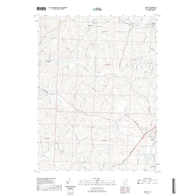
2019 Map of Jewett
USGS Topo · Published 2019About this map
Cadiz and Jewett anchor this section of Harrison County, where the landscape is defined by the high elevations of Hanover Ridge and a dense network of watercourses. The local geography is heavily influenced by the drainage basins of Standingstone Fork and Conotton Cr, with smaller tributaries like Lees Run and Slab Camp Run carving through the terrain. For those researching local history, several burial grounds are preserved across the ridges, including Lees Run Cem, Ridgeview Cem, and Infirmary Cem. The southern reach of the map features industrial and recreational water features such as the CONSOL Energy Pond and Sally Buffalo Park Lake Number Two, reflecting the area's mix of natural resource management and community space.
Find a feature on this map
100 named features on this map. Tap any name to fly to it.
Don’t see what you’re looking for? This feature index may not catch every label — zoom into the map to look around manually.
Map Details
Editions of this 2019 Jewett Map
This is the sole edition of this map. No revisions or reprints were ever made.
Other maps of this area

1901 · Cadiz
USGS Topo · 1:62,500

1902 · Scio
USGS Topo · 1:62,500

1903 · Cadiz
USGS Topo · 1:62,500

1903 · Flushing
USGS Topo · 1:62,500

1904 · Scio
USGS Topo · 1:62,500

1905 · St. Clairsville
USGS Topo · 1:62,500

1905 · Flushing
USGS Topo · 1:62,500

1951 · Canton
USGS Topo · 1:250,000

1953 · Canton
USGS Topo · 1:250,000

1957 · Canton
USGS Topo · 1:250,000