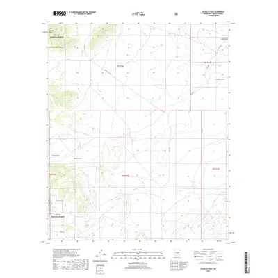
2020 Map of Jicarilla Peak
USGS Topo · Published 2020About this map
Jicarilla Peak anchors the high terrain of the northwest corner, where the Lincoln National Forest boundaries enclose a landscape defined by deep draws and intermittent water sources. The central portion of the map highlights the drainage patterns of Patos Cr, which flows toward Patos Lake and the nearby Patos Cem. This small cemetery and the Grande Vista Ranch are primary indicators of human settlement in this high-altitude environment.
Find a feature on this map
23 named features on this map. Tap any name to fly to it.
Don’t see what you’re looking for? This feature index may not catch every label — zoom into the map to look around manually.
Map Details
Editions of this 2020 Jicarilla Peak Map
This is the sole edition of this map. No revisions or reprints were ever made.
Other maps of this area

1934 · Capitan
USGS Topo · 1:48,000

1935 · Capitan Mountains
USGS Topo · 1:48,000

1937 · Capitan
USGS Topo · 1:62,500

1940 · Capitan Mountains
USGS Topo · 1:62,500

1955 · Roswell
USGS Topo · 1:250,000

1958 · Roswell
USGS Topo · 1:250,000

1962 · Roswell
USGS Topo · 1:250,000

1973 · Ancho
USGS Topo · 1:24,000

1973 · Jacob Spring
USGS Topo · 1:24,000

1973 · Chupadero Mountain
USGS Topo · 1:24,000