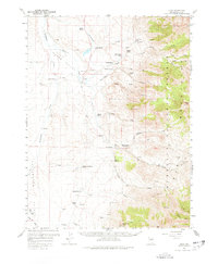
1959 Map of Jiggs
USGS Topo · Published 1978About this map
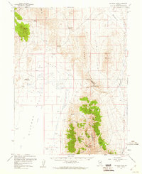
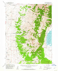
Humboldt National Forest and the towering Ruby Mountains dominate the eastern half of this 1950s survey, creating a sharp contrast with the ranching valleys to the west. The high-altitude landscape is dotted with prominent peaks like Rattlesnake Mtn and Green Mtn, and features essential mountain infrastructure such as the Harrison Pass Guard Sta and Tunnels. In the lowland Mound Valley and Huntington Valley, the settlement pattern is defined by a network of family-held properties.
Find a feature on this map
56 named features on this map. Tap any name to fly to it.
Don’t see what you’re looking for? This feature index may not catch every label — zoom into the map to look around manually.
Map Details
Editions of this 1959 Jiggs Map
2 editions found
Other maps of this area

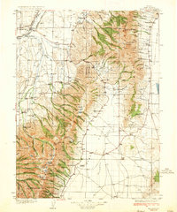
1934 · Jiggs
USGS Topo · 1:125,000
1935 · Halleck
USGS Topo · 1:125,000

1937 · Jiggs
USGS Topo · 1:125,000

1952 · Dixie Flats
USGS Topo · 1:62,500

1955 · Elko
USGS Topo · 1:250,000
1956 · Robinson Mtn
USGS Topo · 1:62,500

1958 · Elko
USGS Topo · 1:250,000
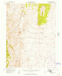
1959 · Jiggs
USGS Topo · 1:62,500
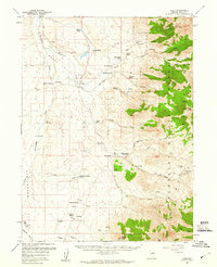
1959 · Railroad Pass
USGS Topo · 1:62,500
1959 · Sherman Mtn
USGS Topo · 1:62,500