
1966 Map of Joe Creek
USGS Topo · Published 1967About this map
Lake Sharpe and the Missouri River define the southern landscape of this 1966 survey, highlighting a period of significant hydrological change. The map depicts the area following the creation of the reservoir, with the Crow Creek Indian Reservation Boundary and Lower Brule Indian Reservation Boundary meeting near the river's edge. This intersection of tribal lands and managed water systems provides a clear look at mid-century land use along the Hughes and Lyman county lines.
Find a feature on this map
11 named features on this map. Tap any name to fly to it.
Don’t see what you’re looking for? This feature index may not catch every label — zoom into the map to look around manually.
Map Details
Editions of this 1966 Joe Creek Map
This is the sole edition of this map. No revisions or reprints were ever made.
Other maps of this area

1953 · Huron
USGS Topo · 1:250,000

1954 · Huron
USGS Topo · 1:250,000

1966 · Lower Brule NW
USGS Topo · 1:24,000

1966 · Joe Creek NW
USGS Topo · 1:24,000

1966 · Lower Brule SW
USGS Topo · 1:24,000

1966 · Joe Creek SE
USGS Topo · 1:24,000
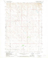
1966 · Joe Creek SW
USGS Topo · 1:24,000

1973 · De Grey SE
USGS Topo · 1:24,000
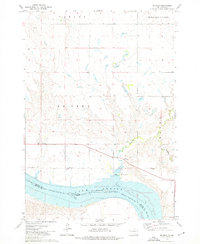
1973 · De Grey
USGS Topo · 1:24,000

1973 · Chapelle Lake SW
USGS Topo · 1:24,000