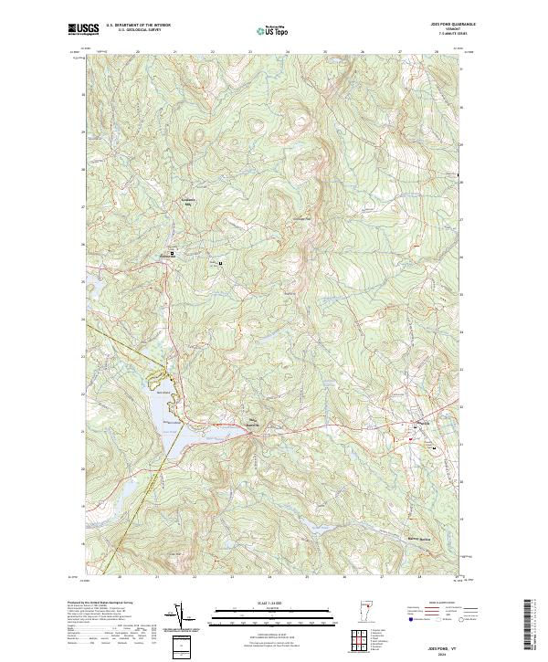
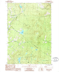
2024 Map of Joes Pond
USGS Topo · Published 2024This historical map portrays the area of Joes Pond in 2024, primarily covering Caledonia County as well as portions of Washington County. Featuring a scale of 1:24000, this map provides a highly detailed snapshot of the terrain, roads, buildings, counties, and historical landmarks in the Joes Pond region at the time. Published in 2024, it is the sole known edition of this map.
Map Details
Editions of this 2024 Joes Pond Map
This is the sole edition of this map. No revisions or reprints were ever made.
Historical Maps of Peacham Through Time
17 maps found

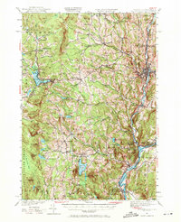
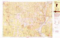
1938 St. Johnsbury
Caledonia County, VT

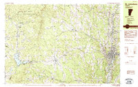
1943 St. Johnsbury
Caledonia County, VT
1949 St. Johnsbury
Caledonia County, VT
1967 Concord
Caledonia County, VT
1973 Groton
Caledonia County, VT
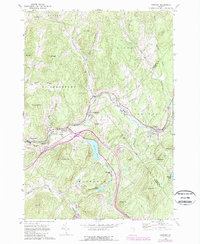
1983 Barnet
Caledonia County, VT
1983 St. Johnsbury
Caledonia County, VT
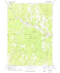
1986 Stannard
Caledonia County, VT
1988 Burke Mountain
Caledonia County, VT
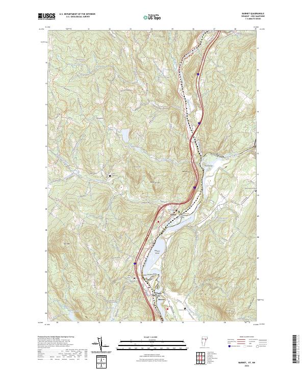
2024 Barnet
Caledonia County, VT
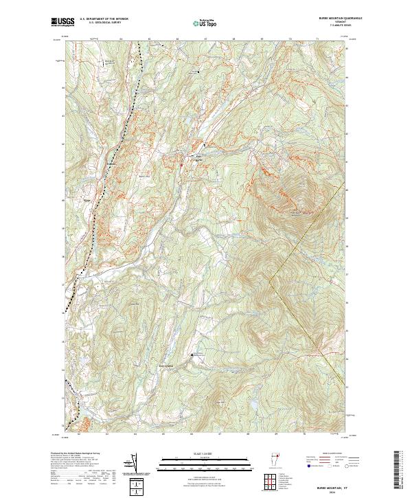
2024 Burke Mountain
Caledonia County, VT
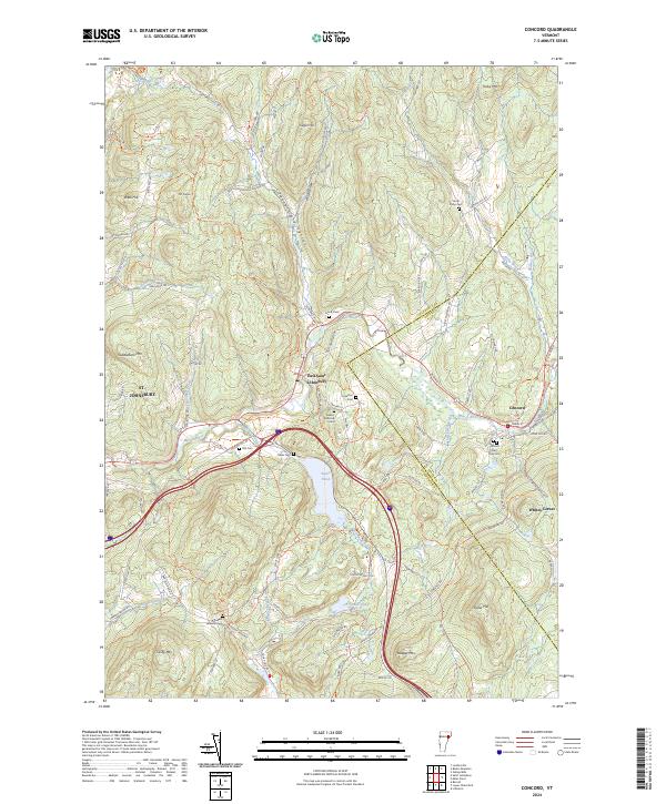
2024 Concord
Caledonia County, VT
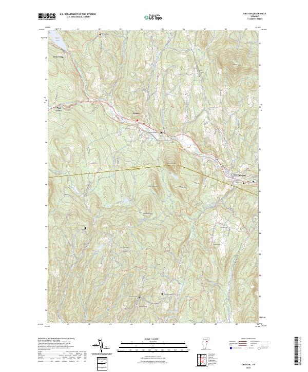
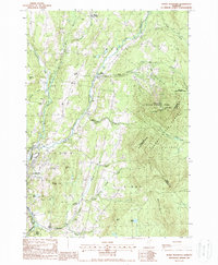
2024 Groton
Caledonia County, VT
2024 Joes Pond
Caledonia County, VT
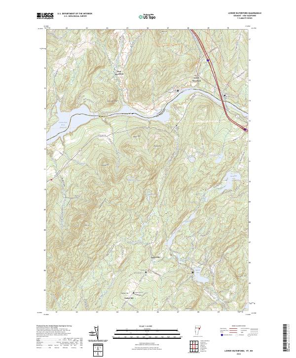
2024 Lower Waterford
Caledonia County, VT
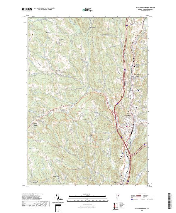
2024 Saint Johnsbury
Caledonia County, VT
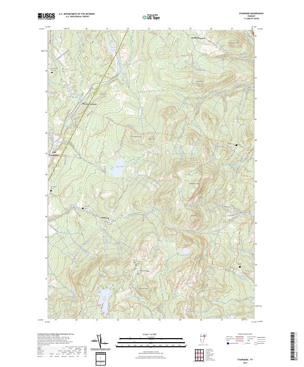
2024 Stannard
Caledonia County, VT