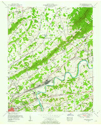
1953 Map of John Sevier
USGS Topo · Published 1954About this map
The Holston River winds through this Tennessee landscape, dominated by the extensive Southern railroad infrastructure at John Sevier Station. This rail yard serves as a central industrial hub, connecting the agricultural and suburban outskirts of Knoxville to broader trade networks. To the north, the terrain transitions into the parallel ridges of Blackoak Ridge and Mc Annally Ridge, where rural life is anchored by family-named landmarks and institutions like Clapps Chapel and the Rising Sun School.
Find a feature on this map
91 named features on this map. Tap any name to fly to it.
Don’t see what you’re looking for? This feature index may not catch every label — zoom into the map to look around manually.
Map Details
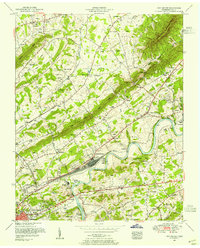
Editions of this 1953 John Sevier Map
2 editions found
Other maps of this area

1886 · Knoxville
USGS Topo · 1:125,000

1892 · Knoxville
USGS Topo · 1:125,000

1894 · Knoxville
USGS Topo · 1:125,000

1895 · Knoxville
USGS Topo · 1:125,000

1897 · Maynardville
USGS Topo · 1:125,000

1900 · Maynardville
USGS Topo · 1:125,000

1901 · Knoxville
USGS Topo · 1:125,000

1935 · Luttrell
USGS Topo · 1:24,000

1935 · Mascot
USGS Topo · 1:24,000

1935 · Knoxville
USGS Topo · 1:48,000