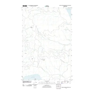
2011 Map of Johnny George Mountain
USGS Topo · Published 2011About this map
Johnny George Mountain and the high ridges of the Colville Indian Reservation dominate this Stevens County landscape, where the northern and southern boundaries are defined by the waters of Franklin D Roosevelt Lake. The terrain is deeply etched by a network of drainage systems, including Sixmile Creek and the various branches of Threemile Creek, which flow toward the reservoir. These canyons and ridges are navigated by a system of BIA-designated routes, such as Ninemile-Hellgate Rd and BIA 1008 Rd, providing access to the more isolated areas of the reservation.
Find a feature on this map
25 named features on this map. Tap any name to fly to it.
Don’t see what you’re looking for? This feature index may not catch every label — zoom into the map to look around manually.
Map Details
Editions of this 2011 Johnny George Mountain Map
This is the sole edition of this map. No revisions or reprints were ever made.
Other maps of this area

1948 · Wilbur
USGS Topo · 1:62,500

1948 · Wilmont Creek
USGS Topo · 1:62,500

1948 · Lincoln
USGS Topo · 1:62,500

1950 · Lincoln
USGS Topo · 1:62,500

1950 · Wilmont Creek
USGS Topo · 1:62,500

1950 · Wilbur
USGS Topo · 1:62,500

1952 · Keller
USGS Topo · 1:62,500

1953 · Ritzville
USGS Topo · 1:250,000

1954 · Okanogan
USGS Topo · 1:250,000

1956 · Wilmont Creek
USGS Topo · 1:62,500