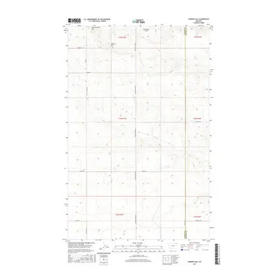
2017 Map of Johnnys Hill
USGS Topo · Published 2017About this map
White Highland Hills and Johnnys Hill dominate this northeast Montana landscape, where the high plains are carved by the drainage of Hell Cr. The terrain is defined by a sparse but essential network of rural roads that follow section lines across the Frazer District, including Richland-Frazer Rd and Baylor Rd. The survey highlights the boundary line between Valley and Daniels counties, illustrating the vast, open character of the region's ranching and agricultural lands during the early 21st century.
Find a feature on this map
22 named features on this map. Tap any name to fly to it.
Don’t see what you’re looking for? This feature index may not catch every label — zoom into the map to look around manually.
Map Details
Editions of this 2017 Johnnys Hill Map
This is the sole edition of this map. No revisions or reprints were ever made.
Other maps of this area

1954 · Wolf Point
USGS Topo · 1:250,000

1954 · Glasgow
USGS Topo · 1:250,000

1957 · Glasgow
USGS Topo · 1:250,000

1958 · Wolf Point
USGS Topo · 1:250,000

1958 · Glasgow
USGS Topo · 1:250,000

1973 · Larslan
USGS Topo · 1:24,000

1973 · Larslan NW
USGS Topo · 1:24,000

1973 · Horseshoe Basin
USGS Topo · 1:24,000

1973 · Johnnys Hill
USGS Topo · 1:24,000

1973 · Richland
USGS Topo · 1:24,000