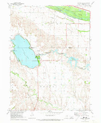
1971 Map of Johnson Lake
USGS Topo · Published 1973About this map
The historical Emigrant Trail crosses the northern landscape of this Platte River valley region, marking a legacy of westward expansion just south of the braided Platte River. By the early 1970s, the area had transformed into a significant water management and recreation hub, anchored by the large Johnson Lake and the engineered Bullhead Canal. These waters supported the local powerplant and various irrigation structures like the Lateral Siphon. Rural life is evident in the distributed schoolhouses, including School No 15 and School No 4, alongside the Chapel of the Lake. The map details a complex network of water features, from the natural meanders of Plum Creek to artificial reservoirs like Philips Lake and Boewing Lake, illustrating the mid-century intersection of natural hydrology and regional utility development.
Find a feature on this map
24 named features on this map. Tap any name to fly to it.
Don’t see what you’re looking for? This feature index may not catch every label — zoom into the map to look around manually.
Map Details
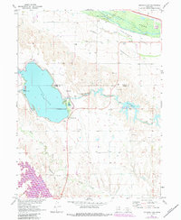
Editions of this 1971 Johnson Lake Map
2 editions found
Other maps of this area

1896 · Lexington
USGS Topo · 1:125,000

1899 · Lexington
USGS Topo · 1:125,000

1955 · Grand Island
USGS Topo · 1:250,000

1957 · Grand Island
USGS Topo · 1:250,000

1958 · Grand Island
USGS Topo · 1:250,000

1962 · Lexington West
USGS Topo · 1:24,000

1962 · Lexington East
USGS Topo · 1:24,000

1962 · Bertrand NW
USGS Topo · 1:24,000
1971 · Elwood SW
USGS Topo · 1:24,000
1971 · Bertrand
USGS Topo · 1:24,000