2024 Map of Johnson
USGS Topo · Published 2024About this map
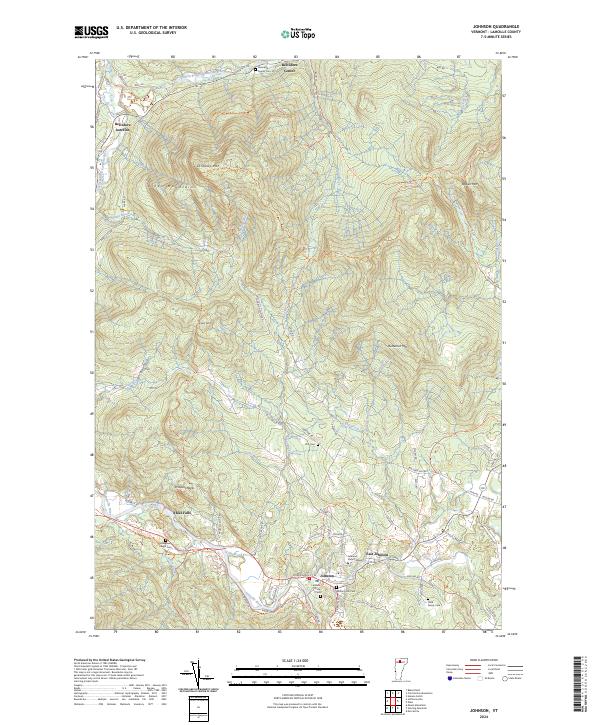
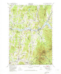
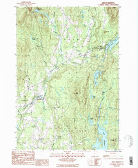
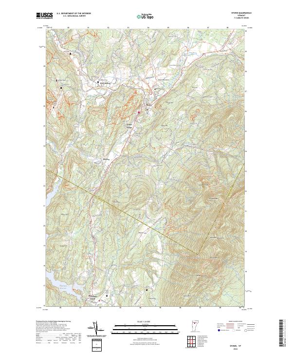
Johnson serves as the focal point of this Lamoille County landscape, situated at the confluence of the Lamoille River and the Gihon River. This academic and residential center is defined by Johnson State College on College Hill, while the surrounding terrain rises sharply into the Green Mountains. The mapping documents a network of family legacies and rural settlements, from Belvidere Center in the north to the small cluster at East Johnson. The distribution of burial grounds such as Whiting Hill Cem and the Clark Family Cem alongside winding valley roads like River Rd E reflects a long history of upland farming and village life. Significant natural landmarks like Ithiel Falls and Prospect Rock punctuate the river valleys, marking the transition from the fertile bottomlands to the steep slopes of Laraway Mtn and Butternut Mtn.
Find a feature on this map
71 named features on this map. Tap any name to fly to it.
Don’t see what you’re looking for? This feature index may not catch every label — zoom into the map to look around manually.
Map Details
Editions of this 2024 Johnson Map
This is the sole edition of this map. No revisions or reprints were ever made.
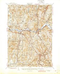
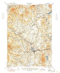
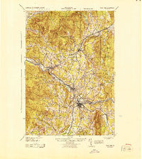
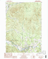
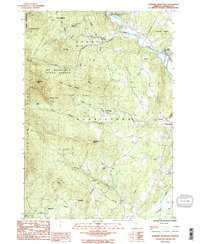
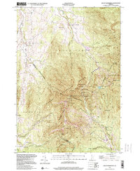
Historical Maps of East Johnson Through Time
20 maps found

1925 Mount Mansfield
Lamoille County, VT

1927 Hyde Park
Lamoille County, VT
1927 Mount Mansfield
Lamoille County, VT
1930 Hyde Park
Lamoille County, VT
1943 Hyde Park
Lamoille County, VT

1944 Mount Mansfield
Lamoille County, VT
1948 Mount Mansfield
Lamoille County, VT
1948 Mount Mansfield
Lamoille County, VT
1953 Hyde Park
Lamoille County, VT
1968 Stowe
Lamoille County, VT
1986 Eden
Lamoille County, VT
1986 Johnson
Lamoille County, VT
1986 Sterling Mountain
Lamoille County, VT
1997 Mount Mansfield
Lamoille County, VT
1998 Sterling Mountain
Lamoille County, VT
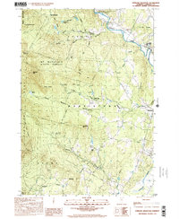
2024 Eden
Lamoille County, VT
2024 Johnson
Lamoille County, VT
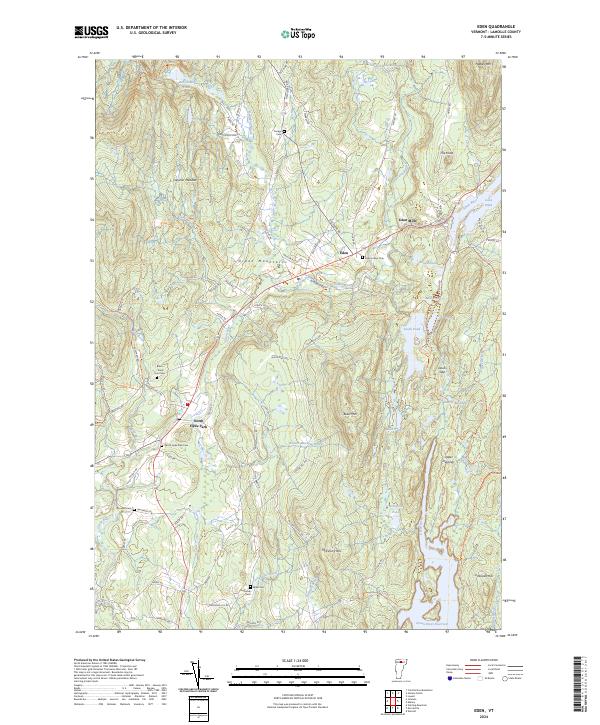
2024 Mount Mansfield
Lamoille County, VT
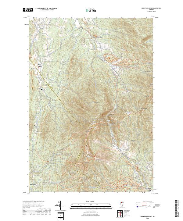
2024 Sterling Mountain
Lamoille County, VT
2024 Stowe
Lamoille County, VT