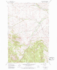
1962 Map of Johnson Mountain
USGS Topo · Published 1985About this map
Johnson Mountain and the surrounding Lewis and Clark County terrain dominate this 1962 field-checked survey, revealing a landscape defined by ranching and water management. Evidence of local industry and infrastructure is visible at the Gravel Pit and along the Gillette Ditch, which cuts across the drainage of Middle Fork Gillette Creek. The presence of the Steinbach Ranch and the Rogers Pass Section House points to the area's history of high-country settlement and transportation maintenance near the continental divide. Waterways like the Dearborn River, Big Skunk Creek, and Cuniff Creek carve through the foothills, while landmarks such as Sunset Hill and Sunrise Hill provide clear orientation for those tracing historic property boundaries or topographic changes in the mid-20th century.
Find a feature on this map
28 named features on this map. Tap any name to fly to it.
Don’t see what you’re looking for? This feature index may not catch every label — zoom into the map to look around manually.
Map Details
Editions of this 1962 Johnson Mountain Map
3 editions found
Other maps of this area

1943 · Hogan
USGS Topo · 1:125,000

1955 · Choteau
USGS Topo · 1:250,000

1957 · Choteau
USGS Topo · 1:250,000

1958 · Choteau
USGS Topo · 1:250,000
1961 · Roberts Mountain
USGS Topo · 1:24,000
1961 · Comb Rock
USGS Topo · 1:24,000

1962 · Choteau
USGS Topo · 1:250,000
1962 · Bowmans Corners
USGS Topo · 1:24,000
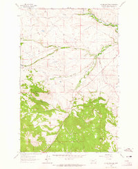
1962 · Johnson Mountain
USGS Topo · 1:24,000
1963 · Rogers Pass
USGS Topo · 1:24,000