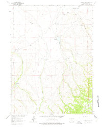
1963 Map of Johnson Ranch
USGS Topo · Published 1975About this map
Johnson Ranch and Five Mile Ranch anchor this ranching landscape in Albany County, mapped during the early 1960s as part of the Department of the Interior's Missouri River Basin development program. The terrain is defined by a series of north-flowing watercourses, including Sand Creek, Lone Tree Creek, and Antelope Creek, which navigate the slopes below Boulder Ridge.
Find a feature on this map
17 named features on this map. Tap any name to fly to it.
Don’t see what you’re looking for? This feature index may not catch every label — zoom into the map to look around manually.
Map Details
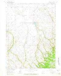
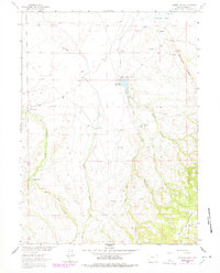
Editions of this 1963 Johnson Ranch Map
3 editions found
Other maps of this area

1895 · Laramie
USGS Topo · 1:125,000

1902 · Laramie
USGS Topo · 1:125,000

1905 · Laramie
USGS Topo · 1:125,000

1906 · Laramie
USGS Topo · 1:125,000

1908 · Laramie
USGS Topo · 1:125,000

1916 · Home
USGS Topo · 1:125,000

1920 · Home
USGS Topo · 1:125,000

1954 · Cheyenne
USGS Topo · 1:250,000

1954 · Greeley
USGS Topo · 1:250,000

1957 · Greeley
USGS Topo · 1:250,000